

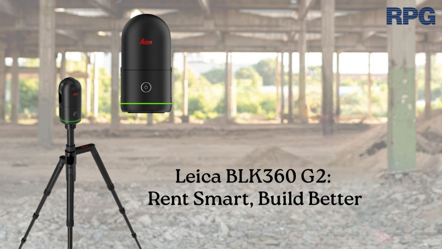
The need for precision and efficiency can’t be overlooked in architecture, construction, and engineering. This is where laser scanning technology has emerged as a game-changer, providing detailed 3D data quickly and accurately. Many laser scanners in the market are widely considered for this purpose. One of the most advanced equipment is the Leica BLK360 G2, a laser scanner that transforms how professionals capture and process data on-site. It is a compact and highly efficient scanner that allows users to create precise 3D models, enabling better decision-making and more accurate project planning.
Key Features of Leica BLK360 G2
Here are the key features and capabilities that set the all-new powerful Leica BLK360 G2 apart from BLK360 G1:
- Fast scanning speeds: Leica BLK360 G2 can capture high-resolution data faster than BLK360 G1. It completes a full-dome LIDAR scan with LDR imagery in under 20 seconds. It captures point clouds at a rate of 680,000 points per second, with a flexible scan setting, enabling you to scan everything required.
- Compact and lightweight design: The Leica BLK360 G2 is 20% smaller than the Leica BLK360 G1, weighing only 850 grams with batteries installed. This makes it incredibly portable and easy to use on-site. Its compact size allows professionals to carry it around with ease, making it ideal for fieldwork in construction sites, architectural surveys, and engineering assessments.
- Immersive High Dynamic Range (HDR) Imaging: The BLK360 G2 laser scanner has four 13-megapixel cameras that can capture high-quality images. It’s 5-bracket HDR imaging captures images in challenging light conditions and environments for colorized point clouds and immersive photospheres. These images are especially useful for documentation purposes, adding another layer of information to the 3D models.
- Vis Scan Alignment System: The Leica BLK360 G2 laser scanner is empowered with Leica Geosystems Visual Inertial System (VIS) Technology, which automatically combines scans. Each scan is captured and combined with the earlier scans, which saves time in data alignment and allows users to create valuable deliverables.
- User-friendly Interface and High-Speed Data Transfer: The Leica BLK360 G2 laser scanner has a simple and user-friendly interface, making it easier even for professionals with non-technical background. The USB-C port on this device allows easy data transfer, which is 9 times quicker than BLK360 G1. This enables fast and stable data transfers.
- Easy Upload to Cloud: The Leica BLK360G2 connects directly to the HxDR, which is Hexagon’s cloud-based visualization, storage, and collaboration platform for geospatial data and reality capture.
How Does Leica BLK360 G2 Enhance Project Accuracy and Efficiency?
Here’s how the Leica BLK360 G2 dramatically improves both aspects of project execution:
- Millimeter-Level Accuracy for Detailed Data Capture: The Leica BLK360 G2 can capture data with millimeter precision. Whether you are documenting as-built conditions, planning renovations, or verifying construction quality, the G2 ensures that every detail is accurately represented in the 3D model or point cloud.
- Eliminate manual measurement errors: Traditional data collection methods are prone to human error, which can result in inaccuracies. With the Leica BLK360 G2, the risk of such errors is virtually eliminated. The scanner captures data automatically, creating an accurate digital representation of the environment without relying on manual input.
- Improved decision making: Leica BLK360 G2 provides detailed visualizations that help teams make precise adjustments and validate their decisions. For architects, engineers, and contractors, having reliable data ensures that the project aligns with the original design specifications and reduces the likelihood of costly adjustments or errors.
- Time and cost saving: By using Leica BLK360 G2, you can reduce on-site labor, make fewer errors, and make decisions based on reliable data that will ultimately lead to significant time and cost savings.
Renting Leica BLK360 G2 is not just a commitment to advanced technology, it’s a smart decision that pays off in numerous ways throughout the lifecycle of any project. If you are in need of Leica BLK360 G2 rental, consider RPG Squarefoot Solutions. We provide construction technology services and solutions to architects, engineers, designers, contractors, and facility owners. You can contact us today to discuss your rental requirements.
Blog Latest Posts
The need for precision and efficiency can’t be overlooked in architecture, construction, and engineering. This is where laser scanning technology has emerged as a game-changer, providing detailed 3D data quickly and accurately. Many laser scanners in the market are widely considered for this purpose. One of the most advanced equipment is the Leica BLK360 G2, a laser scanner that transforms how professionals capture and process data on-site. It is a compact and highly efficient scanner that allows users to create precise 3D models, enabling better decision-making and more accurate project planning.
Key Features of Leica BLK360 G2
Here are the key features and capabilities that set the all-new powerful Leica BLK360 G2 apart from BLK360 G1:
- Fast scanning speeds: Leica BLK360 G2 can capture high-resolution data faster than BLK360 G1. It completes a full-dome LIDAR scan with LDR imagery in under 20 seconds. It captures point clouds at a rate of 680,000 points per second, with a flexible scan setting, enabling you to scan everything required.
- Compact and lightweight design: The Leica BLK360 G2 is 20% smaller than the Leica BLK360 G1, weighing only 850 grams with batteries installed. This makes it incredibly portable and easy to use on-site. Its compact size allows professionals to carry it around with ease, making it ideal for fieldwork in construction sites, architectural surveys, and engineering assessments.
- Immersive High Dynamic Range (HDR) Imaging: The BLK360 G2 laser scanner has four 13-megapixel cameras that can capture high-quality images. It’s 5-bracket HDR imaging captures images in challenging light conditions and environments for colorized point clouds and immersive photospheres. These images are especially useful for documentation purposes, adding another layer of information to the 3D models.
- Vis Scan Alignment System: The Leica BLK360 G2 laser scanner is empowered with Leica Geosystems Visual Inertial System (VIS) Technology, which automatically combines scans. Each scan is captured and combined with the earlier scans, which saves time in data alignment and allows users to create valuable deliverables.
- User-friendly Interface and High-Speed Data Transfer: The Leica BLK360 G2 laser scanner has a simple and user-friendly interface, making it easier even for professionals with non-technical background. The USB-C port on this device allows easy data transfer, which is 9 times quicker than BLK360 G1. This enables fast and stable data transfers.
- Easy Upload to Cloud: The Leica BLK360G2 connects directly to the HxDR, which is Hexagon’s cloud-based visualization, storage, and collaboration platform for geospatial data and reality capture.
How Does Leica BLK360 G2 Enhance Project Accuracy and Efficiency?
Here’s how the Leica BLK360 G2 dramatically improves both aspects of project execution:
- Millimeter-Level Accuracy for Detailed Data Capture: The Leica BLK360 G2 can capture data with millimeter precision. Whether you are documenting as-built conditions, planning renovations, or verifying construction quality, the G2 ensures that every detail is accurately represented in the 3D model or point cloud.
- Eliminate manual measurement errors: Traditional data collection methods are prone to human error, which can result in inaccuracies. With the Leica BLK360 G2, the risk of such errors is virtually eliminated. The scanner captures data automatically, creating an accurate digital representation of the environment without relying on manual input.
- Improved decision making: Leica BLK360 G2 provides detailed visualizations that help teams make precise adjustments and validate their decisions. For architects, engineers, and contractors, having reliable data ensures that the project aligns with the original design specifications and reduces the likelihood of costly adjustments or errors.
- Time and cost saving: By using Leica BLK360 G2, you can reduce on-site labor, make fewer errors, and make decisions based on reliable data that will ultimately lead to significant time and cost savings.
Renting Leica BLK360 G2 is not just a commitment to advanced technology, it’s a smart decision that pays off in numerous ways throughout the lifecycle of any project. If you are in need of Leica BLK360 G2 rental, consider RPG Squarefoot Solutions. We provide construction technology services and solutions to architects, engineers, designers, contractors, and facility owners. You can contact us today to discuss your rental requirements.